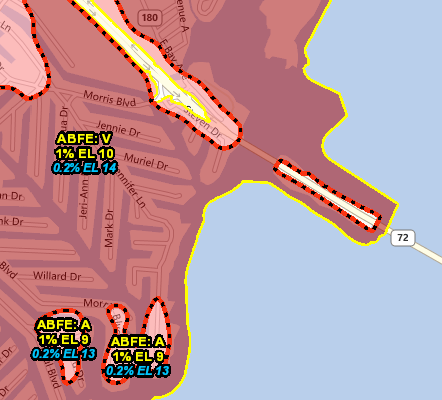
FEMA has created Advisory Base Flood Elevations (ABFEs) to show a more current picture of flood risk for several communities in Florida and New York affected by Hurricane Sandy. The known flood risk has changed since the last effective community Flood Insurance Rate Map (FIRM) as a result of the disaster, recent development in coastal and floodplain areas, or the availability of more current data. The ABFE information and related layers shown on this map for certain communities in Florida and New York can serve as a guide to understanding current coastal flood hazard conditions and higher elevations that communities should build to in order to reduce impacts of future flood events. A complete listing of layers is provided in the Map Contents section to the left.


Recent Comments